Define Your Property with Certainty
Prevent conflicts and make informed decisions with our professional boundary survey services.
Boundary Survey
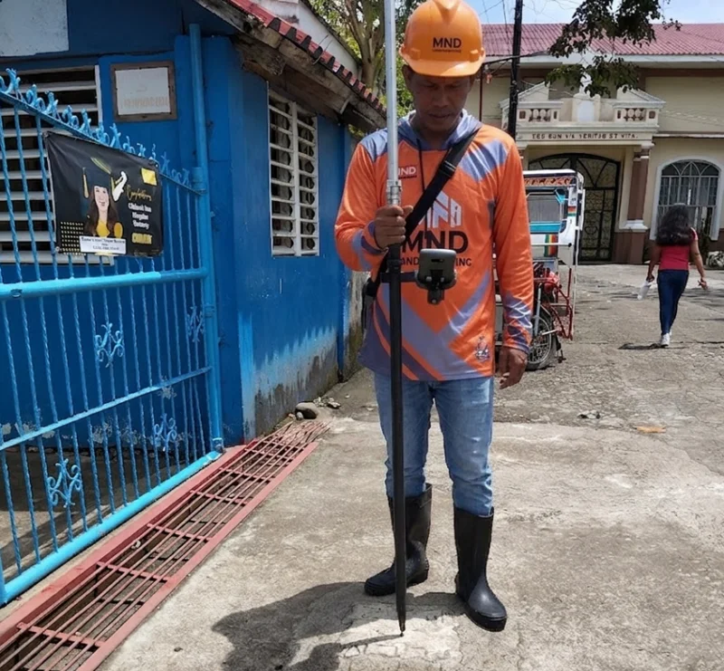
A Boundary Survey is a precise measurement and mapping of property lines, ensuring that the exact limits of your land are clearly defined. Whether you are buying, selling, developing, or simply protecting your property, knowing the accurate boundaries is crucial to prevent disputes, avoid encroachments, and comply with local regulations.
Our team of licensed surveyors uses advanced equipment and proven techniques to deliver accurate, reliable, and legally recognized surveys. We provide detailed maps and reports that clearly identify your property lines, corners, and any existing markers, giving you confidence and clarity in every land-related decision.
Relocation Survey
A relocation survey, sometimes called a re-establishment survey, is performed to locate and mark existing property boundaries that have been lost, obscured, or disturbed. Surveyors rely on historical deeds, plats, and monuments to accurately "relocate" the original boundary lines. This type of survey is typically used when fences or other boundary markers need to be replaced or when construction is planned near property lines.
Subdivision Survey
A subdivision survey divides a single parcel of land into two or more smaller lots. It establishes new boundaries, roads, and easements in compliance with municipal regulations and is commonly used in dividing the inheritance among heirs, buying a portion of land from a mother lot, and other residential or commercial development projects.
Solutions That Map Your Land Accurately
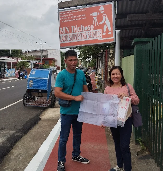
Land Title Processing
Legal procedure to register land ownership and secure official proof.
Learn More >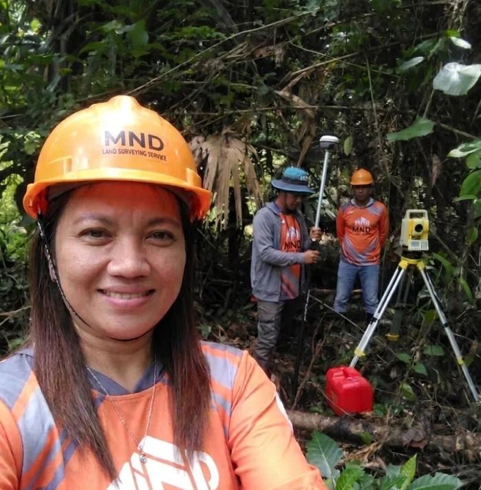
Topographic Surveys
Mapping of the contours of the ground and existing features on the earth's surface.
Learn More >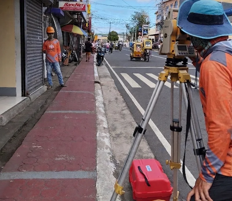
Boundary Survey
Detailed land property descriptions and mapping for residential or commercial use.
Explore Our Work
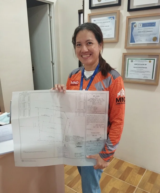
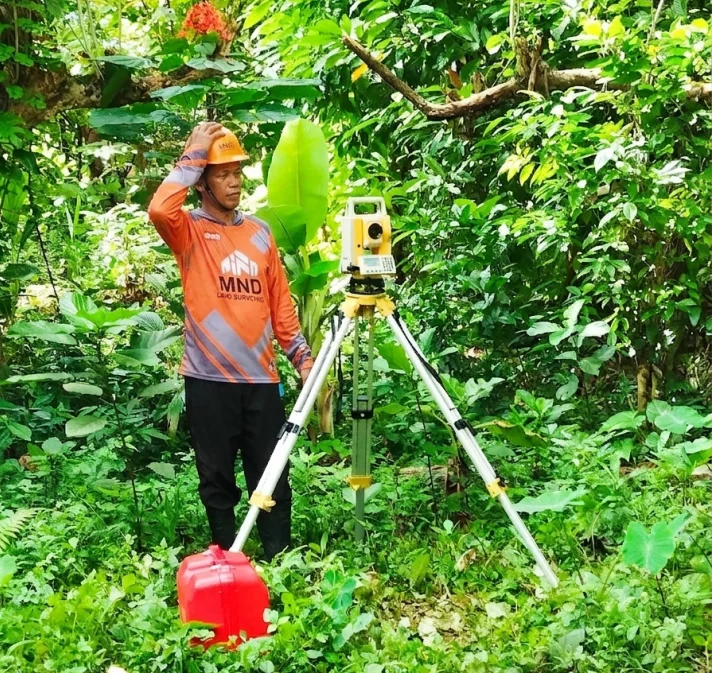
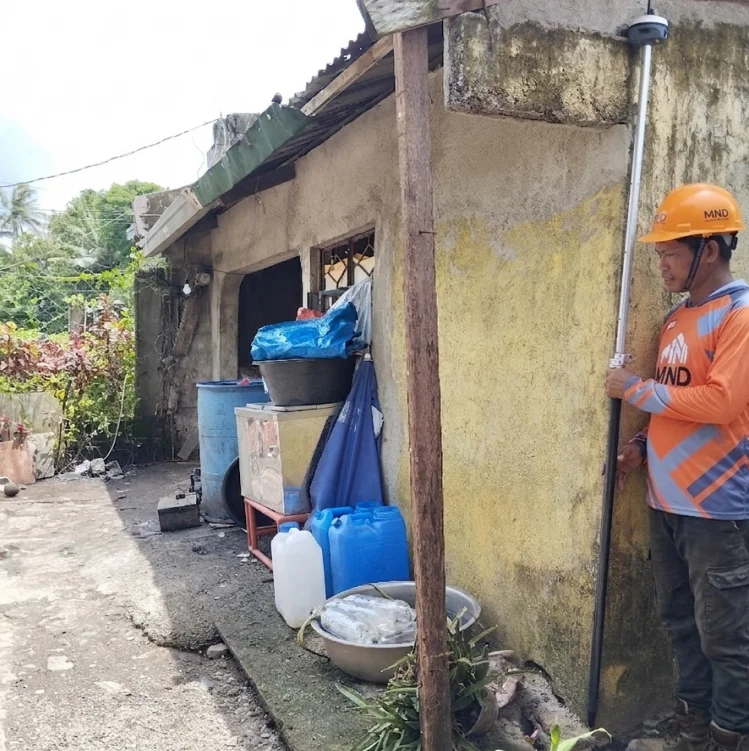
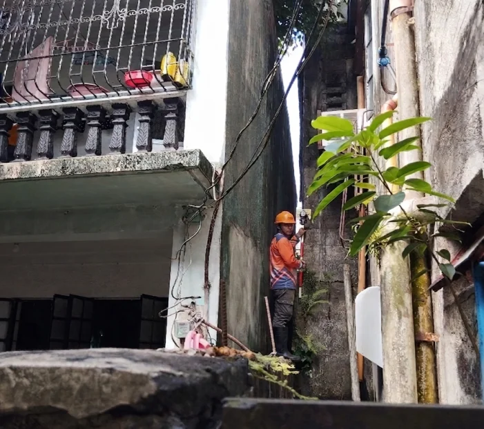
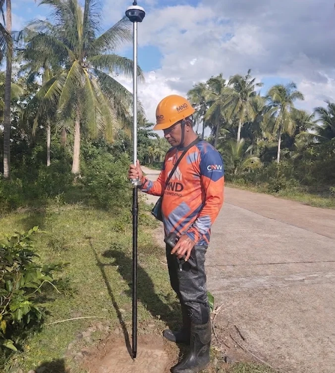
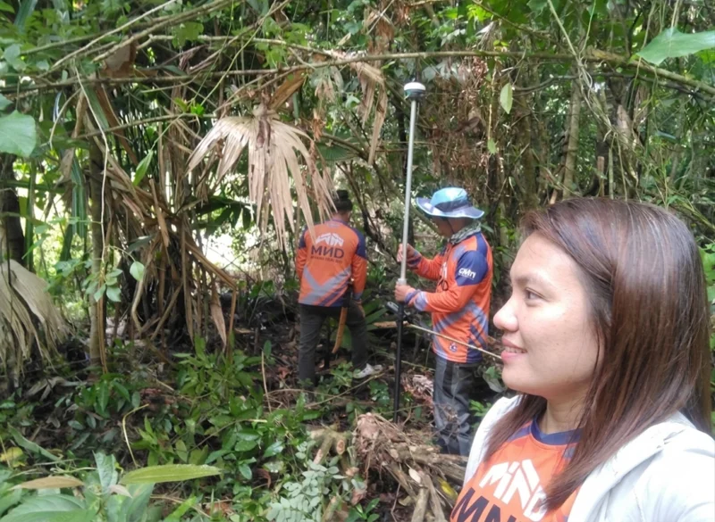
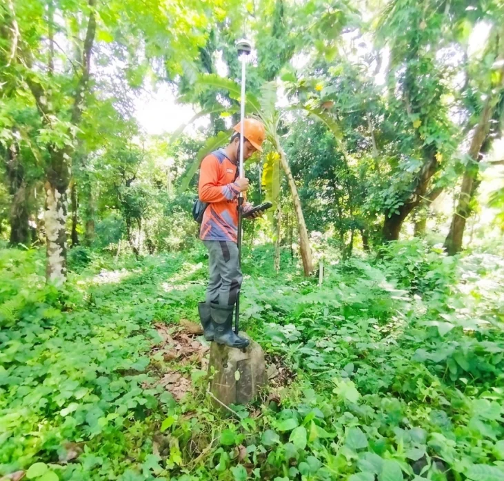
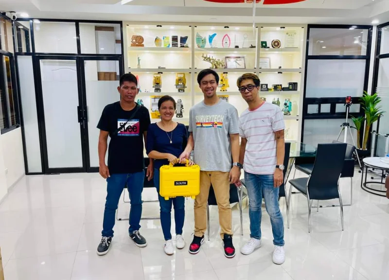
What Our Clients Say
"Accurate and transparent. They explained the process clearly and helped us resolve a long-standing boundary dispute with neighbors."
Client from Pob. Bacon
Homeowner"Highly recommended for topographic surveys. They used modern equipment and delivered the digital files ahead of schedule. Truly a reliable partner."
Client from Davao
Real Estate Developer"Engr. Malaika provided exceptional service for our land subdivision. Very professional and the technical descriptions were accepted by the LRA without issues."