Precision Topographic Surveys You Can Trust
Mapping every contour and feature to guide your next project with confidence.
Topographic Survey
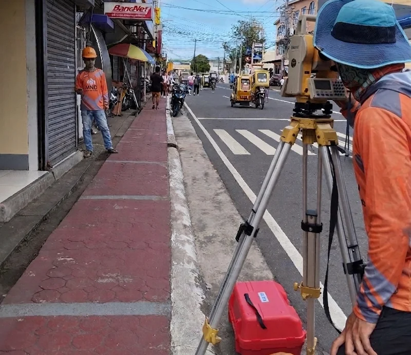
Discover the full potential of your property with a professional topographic survey. We map every detail of your land—natural features like hills, valleys, and trees, as well as man-made structures such as buildings, roads, and utilities—giving you a complete view of your site’s layout and elevation.
With precise topographic data, architects, engineers, and developers can plan with confidence. From designing homes and commercial buildings to landscaping and large-scale developments, this survey helps prevent costly mistakes, optimize site use, and address potential challenges before construction begins.
Investing in a topographic survey ensures smarter planning, safer construction, and projects that fit perfectly with the land. Know your property in detail, and build with confidence.
Solutions That Map Your Land Accurately
Boundary Survey
Detailed land property descriptions and mapping for residential or commercial use.
Learn More >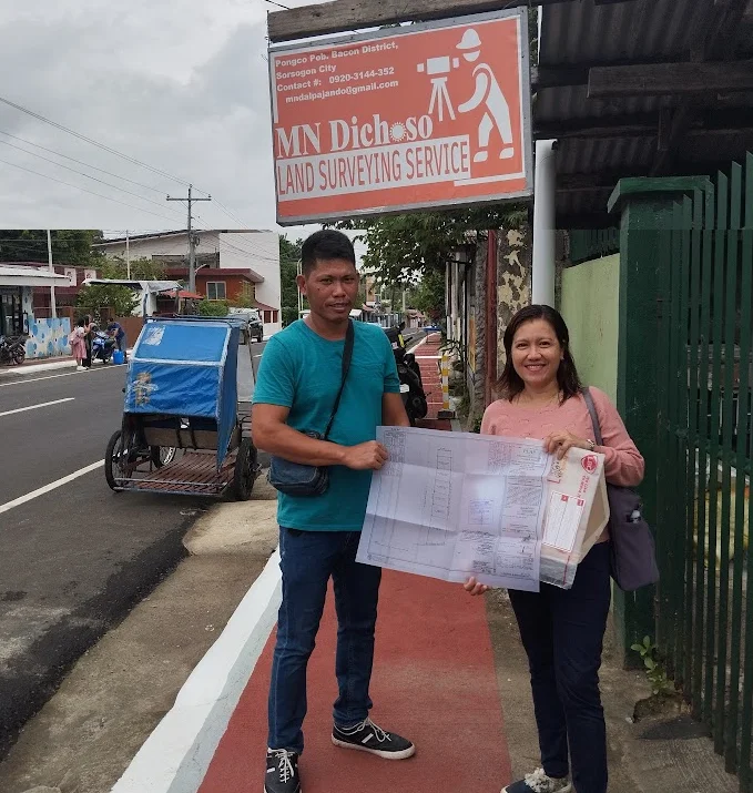
Land Title Processing
Legal procedure to register land ownership and secure official proof.
Learn More >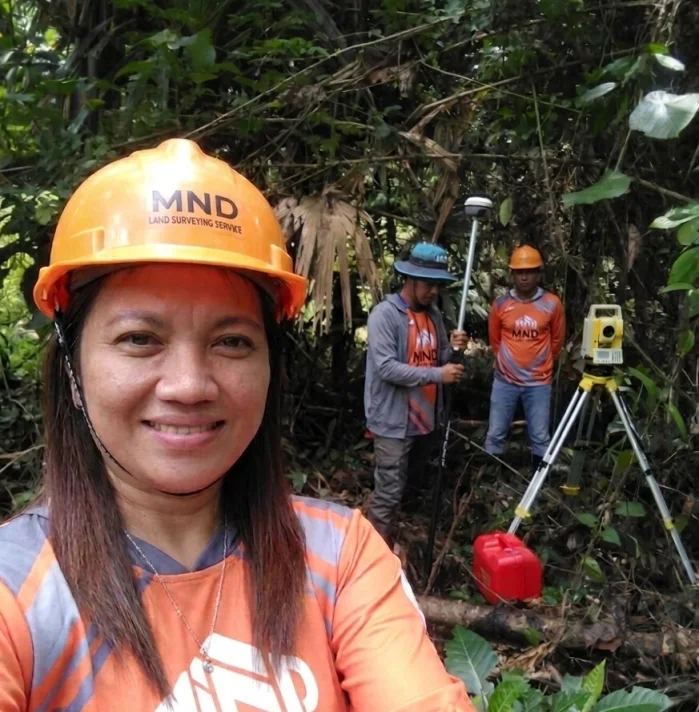
Topographic Surveys
Mapping of the contours of the ground and existing features on the earth's surface.
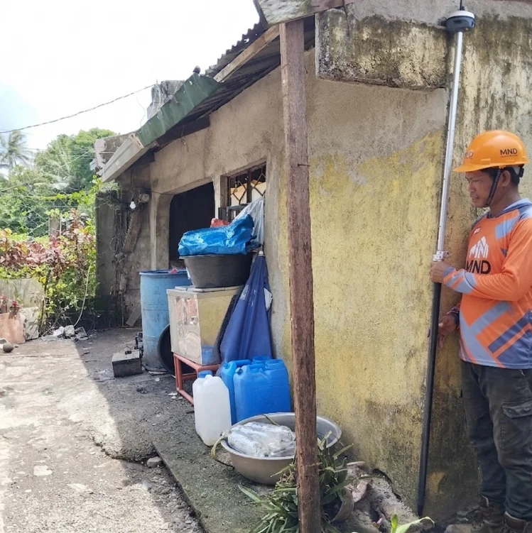
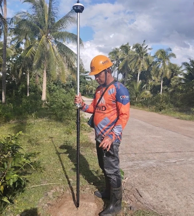
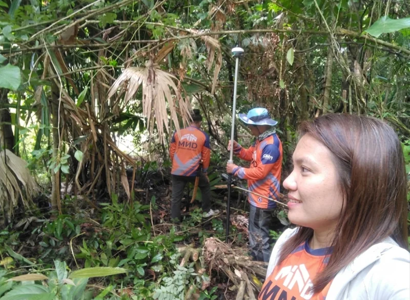
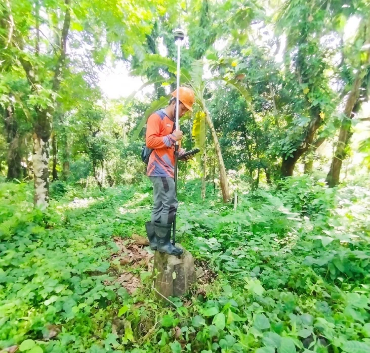
Explore Our Work





What Our Clients Say
"Accurate and transparent. They explained the process clearly and helped us resolve a long-standing boundary dispute with neighbors."
Client from Pob. Bacon
Homeowner"Highly recommended for topographic surveys. They used modern equipment and delivered the digital files ahead of schedule. Truly a reliable partner."
Client from Davao
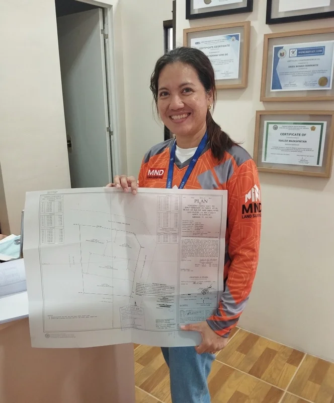
Real Estate Developer"Engr. Malaika provided exceptional service for our land subdivision. Very professional and the technical descriptions were accepted by the LRA without issues."